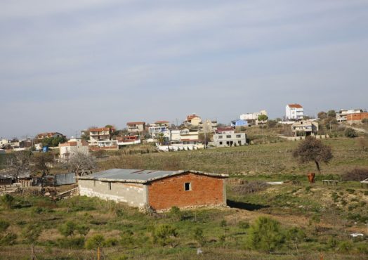
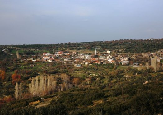
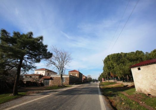
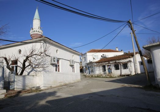
Bademli
The towns registered population is 250 and elevation from sea level is 300m. There are two coffeehouses, two grocery stores and a cafe in the village. The coastal district of the village is 5 km away and is home to 3 motels. Çoşkuntepe, one of the oldest Neolithic Age settlements in the region dating around 6000 BC is located 4km towards the sea.
Çıplak
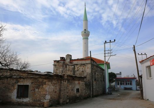
Çıplak is one of the oldest villages in the region and it is located 300m to the east of the Troy Museum. It is said that the village is named after Çıplak Dede who is buried within the borders of the village. Çıplak Dede is believed to be one of the many Colonizator Turkish Dervishes who settled out in the sticks, made a living tirelessly working and farming, and after whom many villages are named. These people are also known to lay the foundations for the Turkish advances from the east to the west. Çıplak village does not appear on the Biga Brigade Map of 1530, but can be found in Lechvalier’s map dated 1791. It is believed that the village was established between those dates and it has been mentioned in many travel logs since. Schliemann stayed in this village for a long period of time during his excavation works.
Kalafat
The village mentioned as Kalafatlu in the Biga Brigade Map of 1530 is actually the Old Kalafatlı village. Current occupants of Kalafat know the exact location of it and in fact it was much closer to the Trojan plain than the current village. It is not clear why Old Kalafat was abandoned. Today’s Kalafat is in the southwest of the Troy Museum and it was founded by the Bulgarian immigrants who migrated in 1928.
Yeniköy
It is located 2km to the north of the Achilleus Tumulus. Yeniköy was founded by migrants from Bulgaria in 1951 right next to the former Greek village that was abandoned in 1915. It is the best location to eat and have a rest within the National Park borders. Yeniköy, with its long sandy beaches and clear waters offers the best seaside experience in the region. As you proceed to the south, you will get to Papaz Beach, where you can find comfortable accomodation alternatives. Bozcaada is clearly visible in the distance as you are coming down from the hill towards the beach. At the far end of the shore, where the lighthouse is, is Beşik-Yassıtepe. The excavations in Beşik-Yassıtepe were carried out by M. Osman Korfmann from 1981 to 1987.
Bozköy
This villages appears in the Biga Brigade Map of 1530. This indicates that the village was one of the first Turkish villages established in the region. Research of the region has shown that the location of the village shifted around in close proximities a couple of times. The habitants of the village identify themselves as “manav”. According to Turcologists, “manav” is a terminology used to describe first Turkish settlers in Anatolia. In 1930 migrants also came and settled in the village.
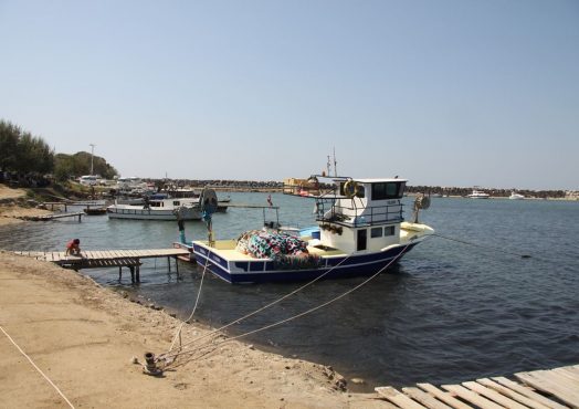
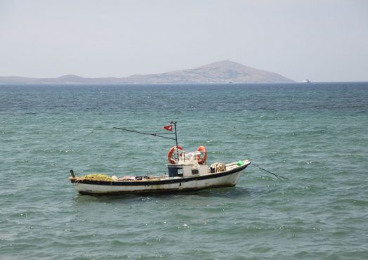
Dalyan Village
Once a small fishing village, Dalyan now is now home to many vacation homes and compunds and is expanding by the day. There is a good size harbour for the fishing boats. It is an ongoing tradition to watch sunsets from here for locals. You could sit on the pier, in one of the fish eateries, at the village’s coffeehouse or on the beach, sip your drink and enjoy the beautiful scenery with Bozcaada in the distance.
Akçakeçili
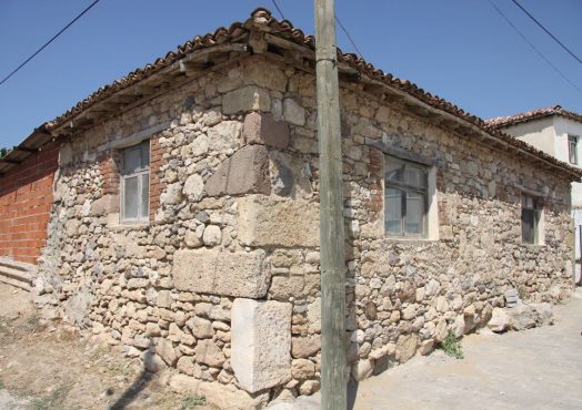
Akçakeçili and Alemşah villages are also two of the oldest and nicest villages in Çanakkale. In the Biga Brigade Map of 1530, Alemşah village appears as Alemşalu. As you walk from Akçakeçili to Alemşah, about two hundred metres in from the bridge you may see the antique columns. However, there are no telling signs of a path or a direction. You can also see a column rescued from the damn construction, now erected in the village square. Palamutçu Hüseyin Aga Mansion, which is registered as an historical building, is located in the village. It still reflects the splendor and glory of past times.
Alemşah
Akçakeçili and Alemşah villages are also two of the oldest and nicest villages in Çanakkale. In the Biga Brigade Map of 1530, Alemşah village appears as Alemşalu. As you walk from Akçakeçili to Alemşah, about two hundred metres in from the bridge you may see the antique columns. However, there are no telling signs of a path or a direction. You can also see a column rescued from the damn construction, now erected in the village square. Palamutçu Hüseyin Aga Mansion, which is registered as an historical building, is located in the village. It still reflects the splendor and glory of past times.
Kösedere
Not much is known about the establishment of Kösedere. From gravestones and old buildings around the village, it has been predicted that village is about 400-500 years old. With a population of 800, it is one of the biggest villages of town of Ayvacık. One particular characteristic of the village is that it maintains a steady population. The Antique City of Larissa is located in the direction of the sea from the village. The village has a very fertile plain therefore vegetable and fruit growing is very developed, making the village a valuable brand in the region. In Çanakkale’s markets and bazaars products are marketed as “produce of Kösedere”. The most famous produce is its tomoatoes. You can get many of your supplies in Kösedere. You can relax at the coffeehouse right next to the stream and have a chat with the locals in the shade under the tall trees whilst enjoying your drink.
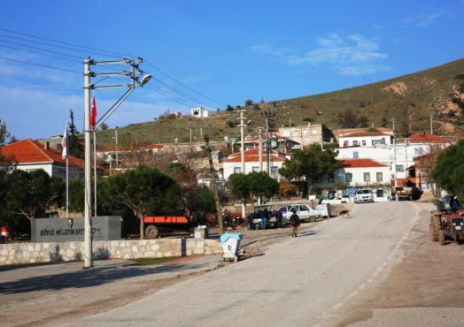
Bektaş
Bektaş village is within the borders of the town of Ayvacık. Its registered population is 333 and elevation fromsea level is 300m. There aretwo grocery stores in the village and a coffeehouse. The coastal district of the village is called Sivrice Bay which is home to 8 hotels and a number of restaurants that are mostly active in summer season. You can see the remains of the Roman Way and quite a few ancient wells.
Kuruoba
Kuruoba village is within the borders of the town of Ayvacık. Its registered population is 158 and elevation from sea level is 280m. The history of the village dates back to the 1800s. The only facility in the village is a coffeehouse.
Korubaşı
The village is within the borders of the town of Ayvacık and its historical name is Burgas. It is believed that a settlement was present here around the same time as the Roman-Byzantium civilisations of Assos, 7km away. It is thought that the name of the village comes from the fact that it was onceon the edge of a now destroyed woodland, as Korubaşı translates as woodland’s edge in Turkish. The registered population of the village is 442 people and its elevation from the sea level is around 285m. There are 3 coffeehouses, 3 grocery stores, a community healthcare centre, public toilets, a motel and a restaurant in the village.
Çamoba
Çamoba village is 2.3 km further up the road towards Geyikli from Kumburun. It takes its name from anomadic settlement as the word “oba” suggests. It is most probably built by the first Turkish nomadic communities in the region.
Gülpınar
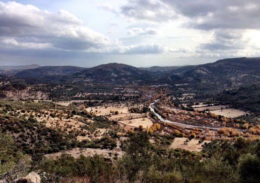
In the past, the village was called Külahlı and Kulaklı. It was changed to Gülpınar after the Turkish Republic was established. It is set on a volcanic plateau with mostly rocky terrain. Geological formations have created a valley along northeast and northwest. The region is rich in water resources and covered with vegetable gardens, olive groves and fruit orchards. Olive and almond trees stretch out all the way to the edge of the valley and over the ridges. Gülpınar is on the way to Babakale and Assos and it is more or less sufficient in terms of touristic facilities.
Kocaköy
The village is within the borders of the town of Ayvacık. Its registered population is 187 and elevation fromsea level is 300m. There is one coffeehouse in the village and three holiday compoundsin the seaside district of the village, which bears the same name.
Tavaklı
The seaside area of the village is named as Tavaklı Pier. It is more or less developed touristically. It no longer has a pier but it is said that in the past, Trojan acorn, a product used in textile production was being shipped from the Tavaklı Pier. There are summer houses, some hotels and some restaurants along the beach here. The water is a little cold for the unaccustomed. However, it has a beautiful sandy and tree-lined beach. It is said that the village was names originally as Tavuklu which later changed to Tavaklı. According to another story, a local tradition where the newly wedded brides went up to the highest peak in the village and watched around with their “duvak” (bridal veil), led to the village being called “Duvaklı”, later changed into Tavaklı.
The land around the village and surrounding areas is quite hilly and suitable for olive growing. The main produce from the flat terrains are apricots, pears, apples, peaches, melons and water melons as well as tomatoes, cauliflowers, green peppers, beans, wheat, broad beans and peas. There are also some almond trees in the region.
Geyikli
Geyikli is located to the west of the South Marmara region, within the borders of the town of Ezine. It is a beautiful province where green meets the blue of the North Aegean Sea and today it is mainly a holiday destination. It is said that the town was established by one of the pupils of Geyikli Baba in the 12th century. Geyikli Baba was a cavalry man on a deer (geyik in Turkish) and he took part in the conquest of Bursa. He then chose to become a monk and migrated to İnegöl. Geyikli Baba’s tomb is situated enroute to the Kemallı village. Geyikli is a big olive producer and it is also one of the key tourism and transportation centres of the region. The main ferrylines to Bozcaada run from the Yükyeri Pier and the town as a result, gets very busy and lively especially during summer months. There are plenty of facilties for food and accomodation in and around the town.
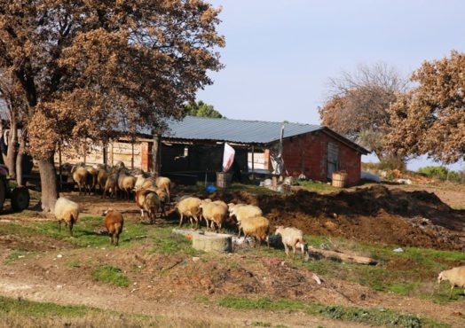
Koyunevi
Koyunevi has a population of 216 and is about 310m above the seal level. There is an authentic hotel and a coffeehouse in the village. Villagers are mainly occupied with sheep and goat farming. The coastal area of the village is the Sokakağzı Beach where you can find touristic facilities.